
www.vacreepertrail.us

www.vacreepertrail.us
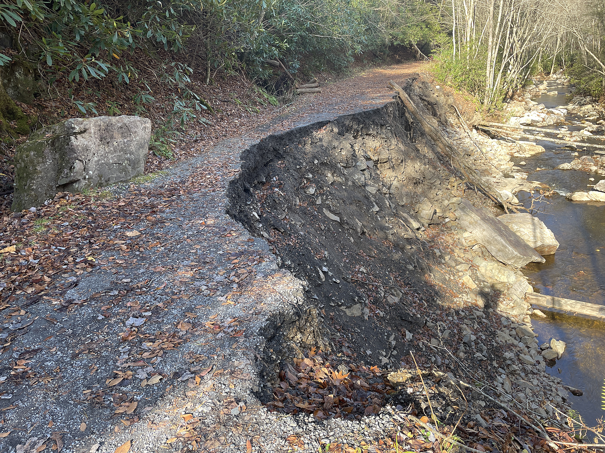
At the crossing of the VCT and Grassy Ridge Road.
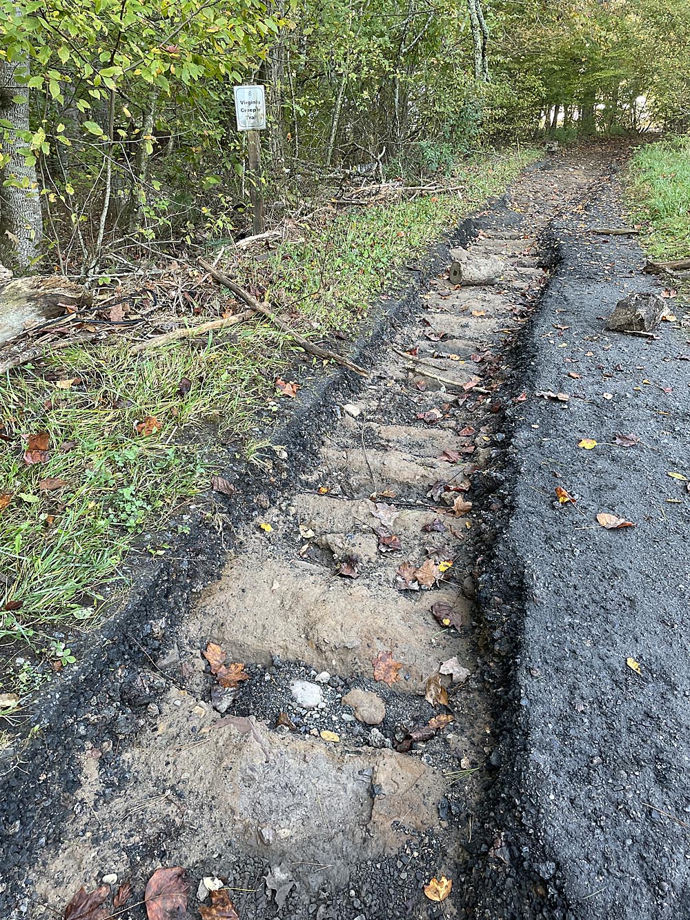
Near Taylor's Valley. Old railroad ties can be seen.
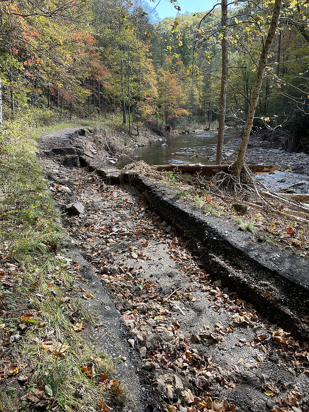
Near Trestle 29. Typical washout.

Between Trestles 29 and 30. Hole is about four feet deep.
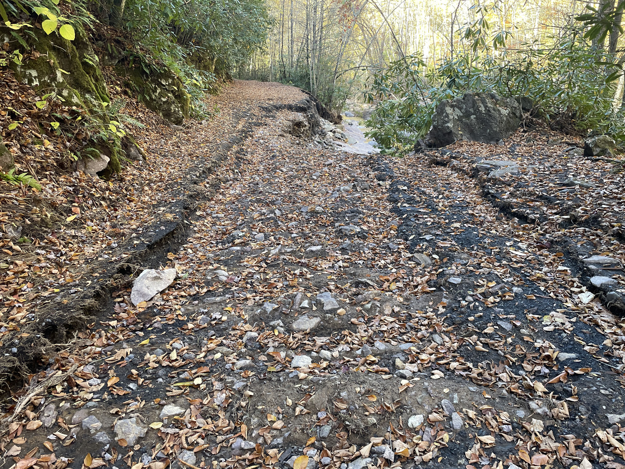
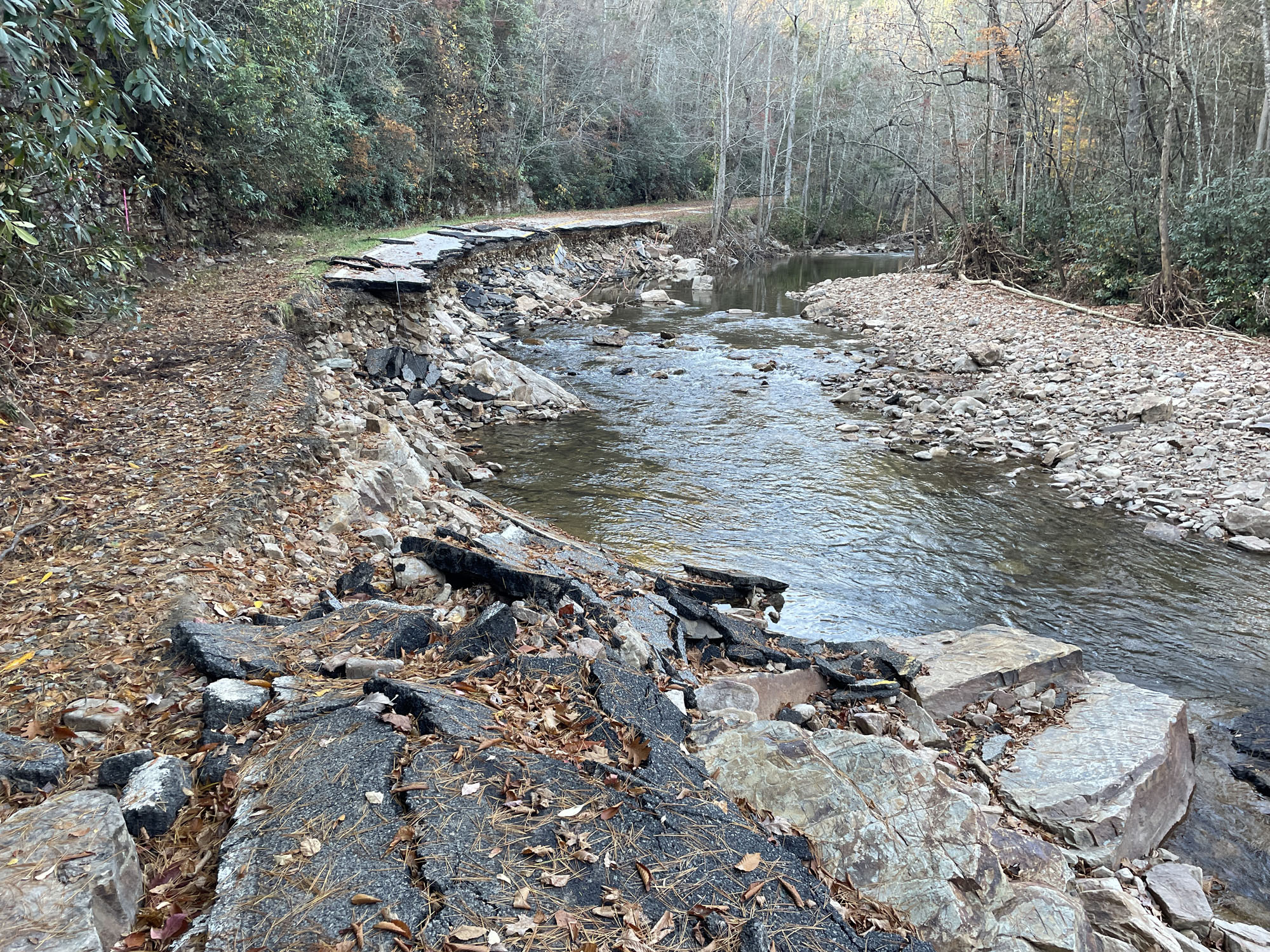
Near Trestle 37. Typical washout with water finding a way back to Whitetop Laurel.
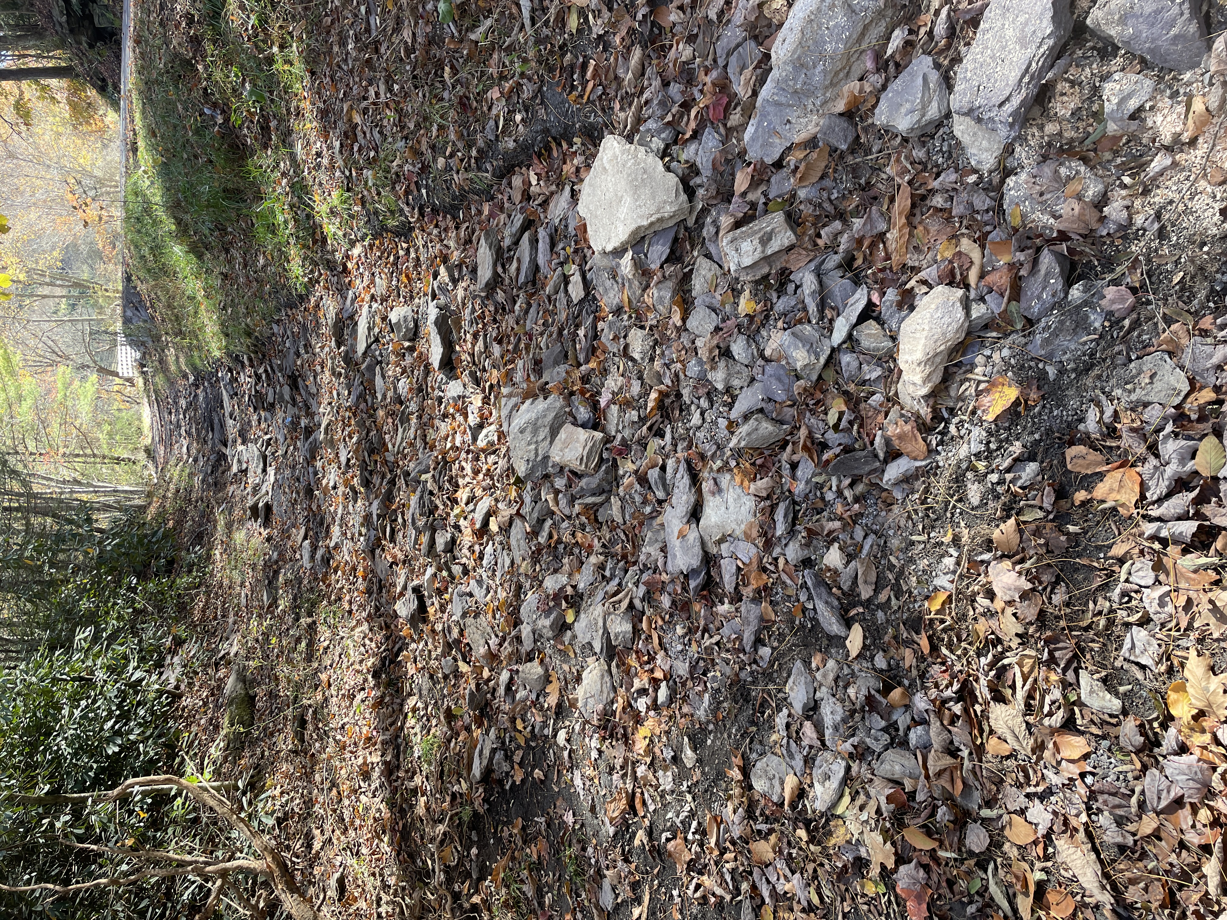
Below Trestle 45. All the surface has washed away.

Just south of Trestle 37. Hole is over 6 feet deep.

Near Trestle 37. Trail and railbed have washed away, leaving only a cliff face.

Taylor's Valley. A new riverbed was created and washed everything away going back to the main channel.

Outside Damascus near VCT mile marker 17. Hole is 10-12 feet deep.

Click here for a second page of trail damage photos.
2024 Home